The proposed marine spatial plan identifies a transitional pathway for fisheries that would enable the commercial sector to succeed through a focus on high value, high quality product.
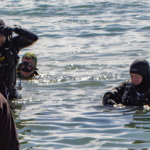
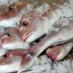
The plan recognises the importance of fisheries for the people of the Gulf: a $74m commercial fishery, quarter of a million active recreational fishers and for Maori, the ability to catch fish is at the heart of manaakitanga, or hospitality.
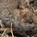
The plan identifies problems with low stocks, areas of spatial depletion and the loss of vulnerable species, and the further pressures that population growth will bring.
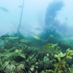
More broadly, the Gulf has lost capacity to produce fish through the loss and degradation of important habitat.
To address this, the plan aims to rebuild depleted fish stocks within a generation and to use an ecosystem-based approach to manage the harvest of wild fisheries.
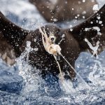
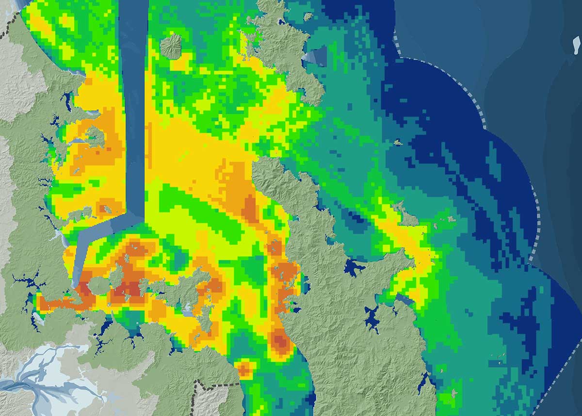
Bottom trawling, Danish seining and scallop dredging methods – which disturb the seabed, prevent recovery and redistribute sediments – would be transitioned out of the Gulf from 2018 to 2025.
This would occur initially from inside a line from Cape Rodney to Cape Colville, then, informed by investments in habitat mapping, from the complete marine park.
The plan recognises that transitional assistance will be required to achieve a high value, high quality fishery that recognises and treats marine life as taonga.
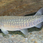
The plan proposes catch limits for all species are set to ensure recovery to target levels by 2040.
To enable this, the plan proposes to establish a separate fisheries management area and quota management area for the marine park, with a multi-stakeholder advisory group to provide recommendations directly to the Minister for Primary Industries, similar to other arrangement operating in some other fisheries.
The plan also seeks to enable more aquaculture to enhance the Gulf as a pātaka kai (food basket).
By 2020 it aims to have a three tiered regulatory framework in place, defining areas for aquaculture growth, an area allowing case-by-case consideration and a restricted area.
Thirteen new aquaculture areas have been identified, including at Thames, Kaiaua, Coromandel Harbour South, Coromandel Harbour North, Whangapoua, Maraetai (inter-tidal shellfish – oysters), Colville, Great Mercury, East Coromandel, South Great Barrier Island,(sub-tidal shellfish – mussels and fish), Western Firth, Ponui and Whitianga (sub-tidal shellfish –mussels).
Objectives for aquaculture include environmental health, contribution to restoration and a thriving industry that benefits communities and mana whenua.
The full text of the Sea Change – Tai Timu Tai Pari marine spatial plan is available here.