King Tides Auckland is a community initiative that encourages people from around the Auckland region to visit and photograph the highest tides (known as King Tides) that naturally occur along our coastline each year.
Operating since 2014, and part of a global movement, called “Global King Tides”, King Tides Auckland encourages citizen scientists to capture data and images which help give evidence of what the future sea levels will be and what is at risk.
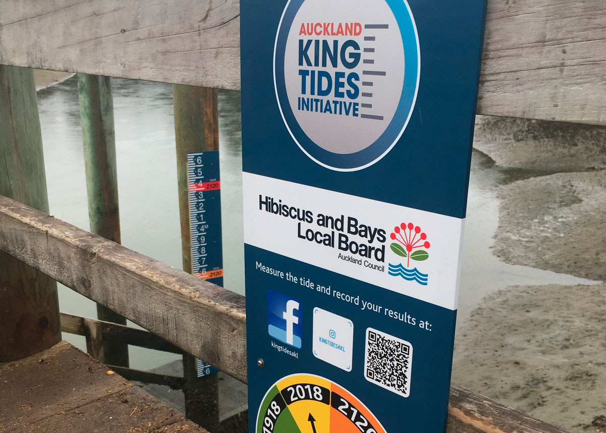
King Tides Auckland has recently installed three water level (tidal) gauges at public coastal locations; Wynyard Pedestrian Bridge, Half Moon Bay Boat Ramp, Orewa Bridge Wharf and a fourth gauge will soon be installed in the Birkenhead area.
The gauges are designed to be monitored by communities and schools. The water level on any given tide can be measured against tide levels marked on the gauge.
The gauge includes historic high tides, current day mean high tides and projected high tides in 2120.
The process of capturing and providing water level data to King Tides Auckland provides an opportunity for groups to learn about the causes and impacts of sea level rise on their own local coastline.
The images capture a living record of our changing coastlines and provide us with a glimpse into the future of what our normal daily high tides may look like in 30 to 50 years’ time with projected global sea level rise.
“We want to improve our understanding of the implications of sea level rise for our region and we need your help to do this,” says Ben Sheeran from Auckland King Tides.
The work of Auckland King Tides complements work undertaken by the Auckland Council. Using radar-based tide gauges, the Auckland Council collects water level data to validate modelled data of sea level rise estimates. This enables the Council to gain an appreciation of coastal inundation risk across the region under a range of sea level rise scenarios.
Radar-based gauges also need to be supplemented by visual readings of staff gauges to provide a visual confirmation and comparison to validate the data captured.
The Auckland Council Coastal and Geotechnical Services team and RIMU (Research and Evaluation Unit) have provided valuable technical support to set up the Auckland King Tide’s tide gauges. In doing so, the Council is supporting a community-led approach for capturing the required supplementary data via water level (tidal) gauges. It also provides a means to engage the public around sea level rise.
Waitematā, Howick, Hibiscus and Bays and Kaipātiki Local Boards have generously funded the production of gauges and signage.
Ben invites everyone to become coastal time travellers and to take a trip to the coast during king tide events to photograph your local spot. You can also visit one of the tide gauges and share a photo or measurement of the tide.
You can upload your tide measurements or photographs to the Auckland King Tides Instagram or Facebook site or website and share your observations with others.
You can find out more about the global initiative at kingtides.net
The next king tide is on Saturday 23 March at 10:03 am.